^^ Picture Above
Rowes Bay
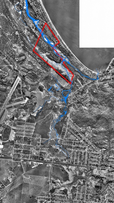
Wetland and Mundy Creek circa 1941. An interpretation of the pools and connections to Mundy Creek are
shown in blue. The boundary of the Rowes Bay wetland reserve is shown
in red.
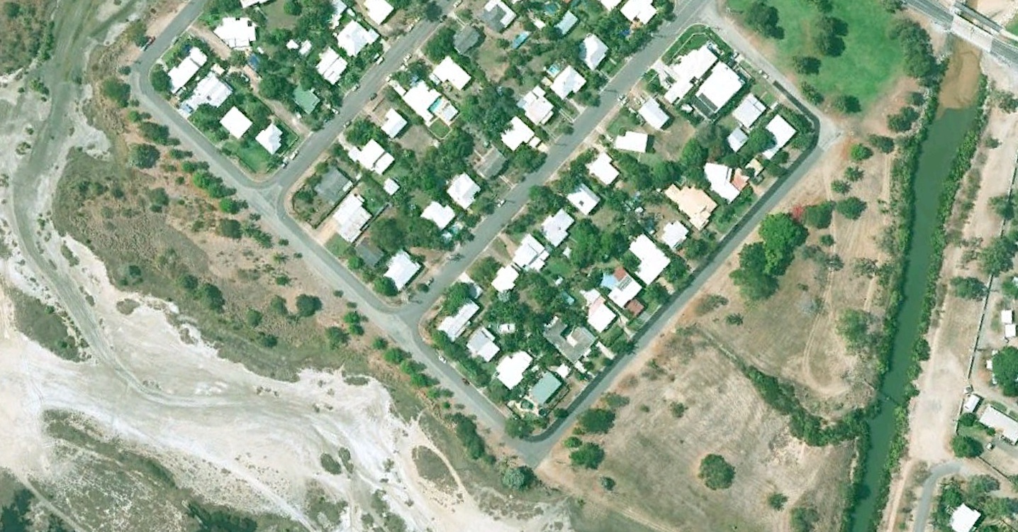
Fast forward to 2009
The natural creek line disappeared in 1968 when the new, man-made
Mundy Creek that enters Rowes Bay near the caravan park was formed.
Primrose Street was once part of Mundy Creek.
After the Town
Common drainage scheme was completed in 1968 the string of waterholes
was reformed into the drainage channels that exist today.
Picture Right >>
As seen in this 2009 image Mundy Creek (blue) bears little resemblance to the original waterway in the 1941 image above.

